- Like
- Digg
- Del
- Tumblr
- VKontakte
- Buffer
- Love This
- Odnoklassniki
- Meneame
- Blogger
- Amazon
- Yahoo Mail
- Gmail
- AOL
- Newsvine
- HackerNews
- Evernote
- MySpace
- Mail.ru
- Viadeo
- Line
- Comments
- Yummly
- SMS
- Viber
- Telegram
- Subscribe
- Skype
- Facebook Messenger
- Kakao
- LiveJournal
- Yammer
- Edgar
- Fintel
- Mix
- Instapaper
- Copy Link
 Support #WVProDemocracy, Support Clean Elections, Fair Courts and Judicial Independence


 About OVEC
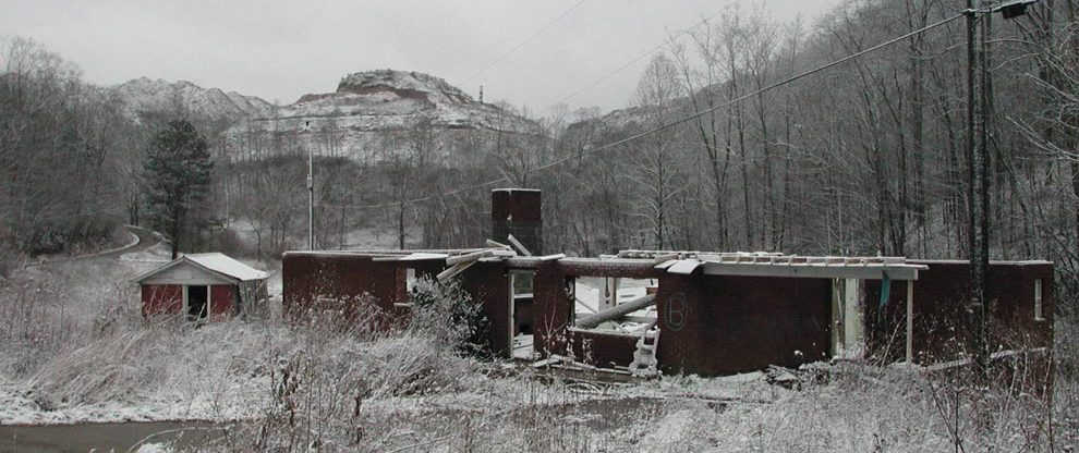
OVEC (the Ohio Valley Environmental Coalition) formed in 1987 to stop a toxic waste dump/incinerator proposed for a low-income community near Huntington, WV. We won that campaign. By supporting organized voices and empowered communities, over the years we had wins on environmental and social justice campaigns in our regions. OVEC dissolved in November, 2021. Our members and volunteers, donors, supporters and allies were all essential to our work. Thank you!
Winds of Change Newsletter Archive

Action Alerts Action Alert Archive