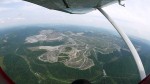
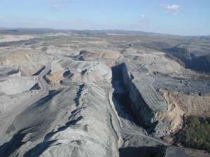
OVEC’s Mountaintop Removal Galleries depict the devastation of mountaintop removal / valley fill coal mining and related coal slurry impoundments.
MTR Gallery,
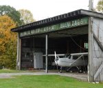
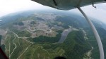
Sludge Gallery OVEC Dec 1, 2015Edwight MTR Operation and Shumate Coal Sludge DamPhotos by Vivian Stockman; Flyover courtesy SouthWings For permission to use photos (non-profit groups, school, students, low-income organization, no-income bloggers) or to purchase one-time photo-use rights (for-profit groups) contact vivian@ohvec.org. Original digital images may be available on request. On August 29, 2015, OVEC staff member Vivian Stockman served as a guide for a pair of […] MoreIssues: Mountaintop removal MTR Gallery OVEC Dec 1, 2015Twilight MTR Operation and Jarrell CemeteryPhotos by Vivian Stockman; Flyover courtesy SouthWings For permission to use photos (non-profit groups, school, students, low-income organization, no-income bloffers) or to purchase one-time photo-use rights (for-profit groups) contact vivian@ohvec.org. Original digital images may be available on request. On August 29, 2015, OVEC staff member Vivian Stockman served as a guide for a pair of […] MoreIssues: Mountaintop removal
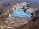
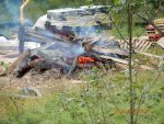
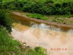
Sludge Impoundments and their catastrophic dangers are part of mountaintop removal mining.
MTR Gallery,
Sludge Gallery OVEC Dec 1, 2015Edwight MTR Operation and Shumate Coal Sludge DamPhotos by Vivian Stockman; Flyover courtesy SouthWings For permission to use photos (non-profit groups, school, students, low-income organization, no-income bloggers) or to purchase one-time photo-use rights (for-profit groups) contact vivian@ohvec.org. Original digital images may be available on request. On August 29, 2015, OVEC staff member Vivian Stockman served as a guide for a pair of […] MoreIssues: Mountaintop removal
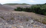
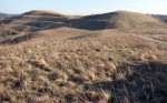
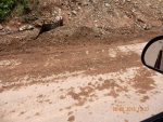
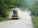
So-called “Reclamation.” Author Harry Caudill described strip mining reclamation efforts as akin to putting lipstick on a corpse. And that was before mountaintop removal / valley fill coal mining.
Click here to see a full list of “Reclamation” Galleries
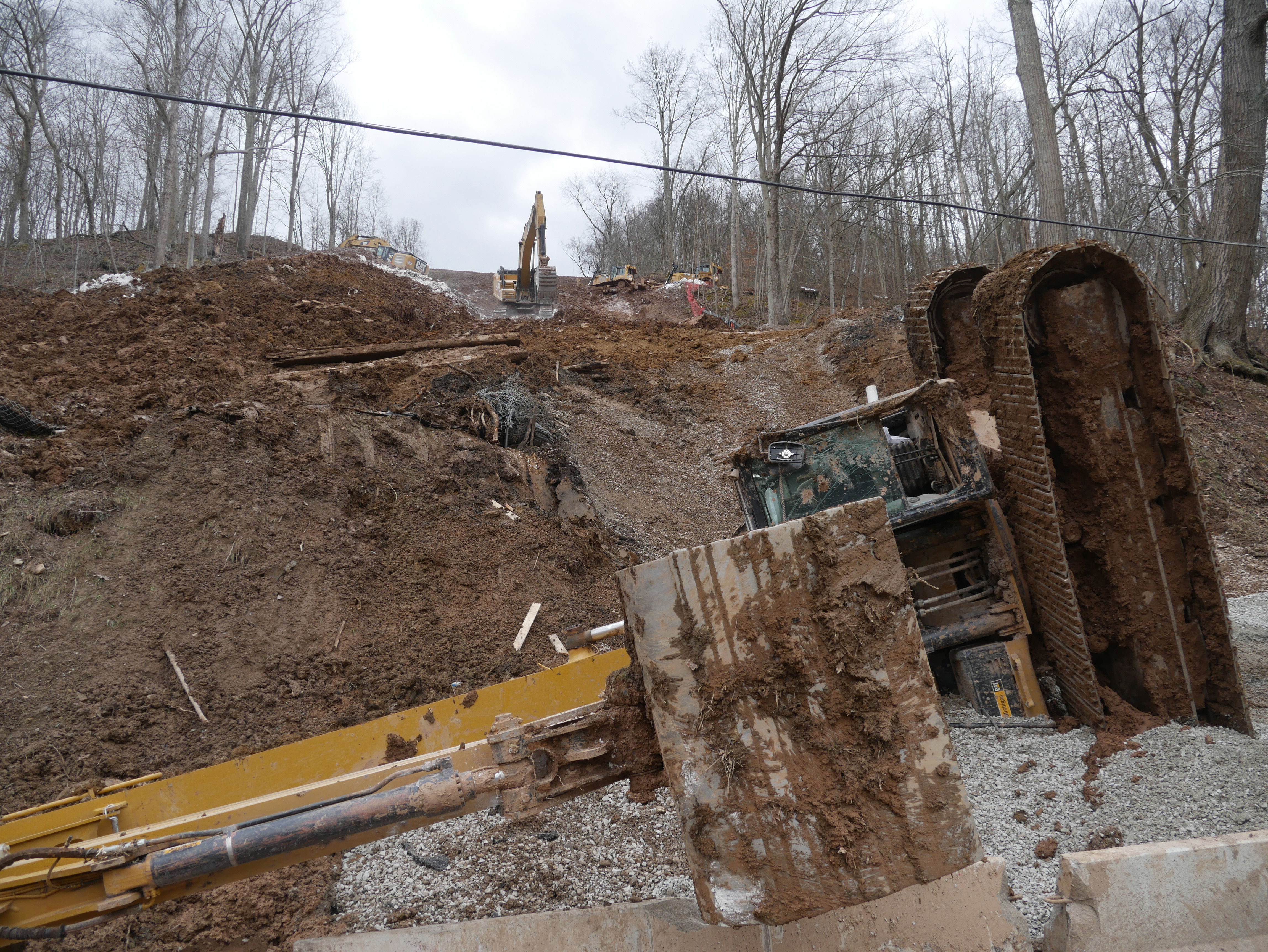
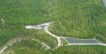
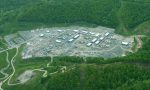
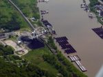
OVEC’s Deep Shale Galleries and Pipeline Galleries depict some of the large scale industrial activity and pollution associated with the extraction of deep shale oil and gas
More Deep Shale Galleries
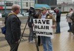
Our People in Action Galleries include photographs and articles of environmental activism.
Click here for a complete list of People in Action Galleries
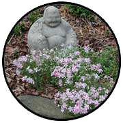
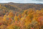
Our In the Garden Galleries offer the Zen of flowers and nature’s beauty to help rest your eyes and recharge your spirit after you view the images of the ecocide that is mountaintop removal coal mining.
In the Garden Gallery OVEC Dec 1, 2015Wirt County, October 25, 2015Photos by Vivian Stockman For permission to use photos (non-profit groups, school, students, low-income organization, no-income bloggers) or to purchase one-time photo-use rights (for-profit groups) contact vivian@ohvec.org. Original digital images may be available on request. A reminder of one reason why we do what we do: West Virginia’s beauty astounds! More
Miscellaneous Galleries
Deep Shale Gallery,
Gallery,
Hoots and Hollers Vivian Jun 8, 2017WV Frack Fields Flyover, Part 3: #Fracking Activity and the Fate of Mobley, Wetzel County, WVThe community of Mobley in Wetzel County is just about obliterated, thanks to assorted fracking-related activities. MoreTags: Fracking, Health, Marcellus Shale, Pipelines, Pollution Click here for a complete list of In the Miscellaneous Galleries
 Women in Black?